GRiP Imagery and Risk Information
Accurate addressing
Enter the address and go directly to the correct building.
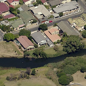
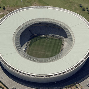
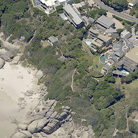
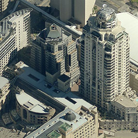
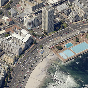
On-Demand Hi-Resolution Imagery
View the property/building using multidirectional high resolution imagery. Confirm building and erf features (situated in a built up area, located near a fynbos reserve).
Accurate and Up to Date Risk Information
Access risk related info such as presence of dolomite, percentage problem soil content, lightning density (cloud to ground), bush fire history for the area, distance to emergency services, proximity to illegal residential structure settlements, and more).
GRiP data is sourced from established and trusted research companies and data providers. The data is updated frequently, validated and stored in a secure environment.
The information and imagery is downloaded or stored by the client in a digital report for each property.
Get Social