
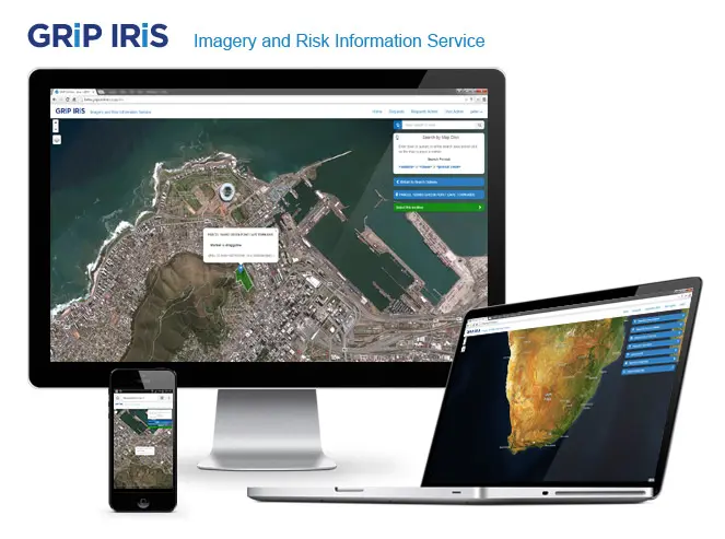
GRiP IRiS – Imagery and Risk Information Services
The GRiP Team is pleased to announce the launch of our beta version of IRiS 2.0. A simpler, more streamlined and faster user experience, with completely up to date information.
IRiS is the online Imagery and Risk Information Service that provides up to date risk information. This in turn provides a more informed understanding of the risks associated with a location.
Get Social